![]()
DAY 5
|
|
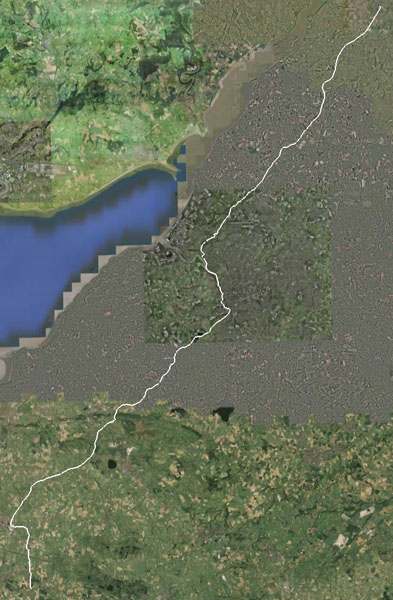
Google Earth view: |
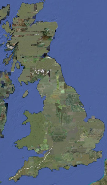
And the ride to date: |
|
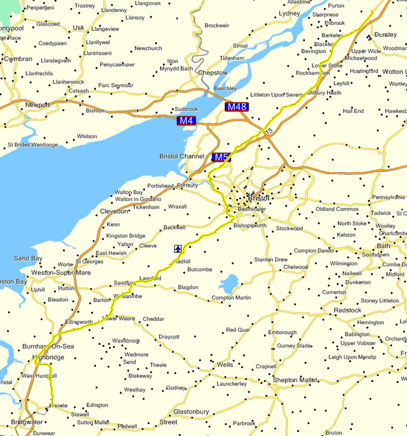
Today's ride spanned three counties. We polished off the rest of Somerset, crossed Avon, and pushed into Gloucestershire. Donald had gone to bed at a sensible time the previous night; Erica, Louise and I didn't. I was feeling the pain on today's ride. Memo to self: chatting and drinking into the early hours is not compatible with long-distance cycling ... Somerset continued to be delightfully flat. Bristol was, er, not. Short and sharp rather than sustained, but still some pretty steep hills! |
|
I was a bit confused when I got up as there was no water falling from the sky. Instead, there was a strange yellow object in the sky, and lots of light. |
|
Louise had one of these 'tip it out of the bag and it erects itself' tents. She was discovering that disassembly was not the reverse of assembly. We tried to help, but gave up and left her to solve the puzzle. |
|
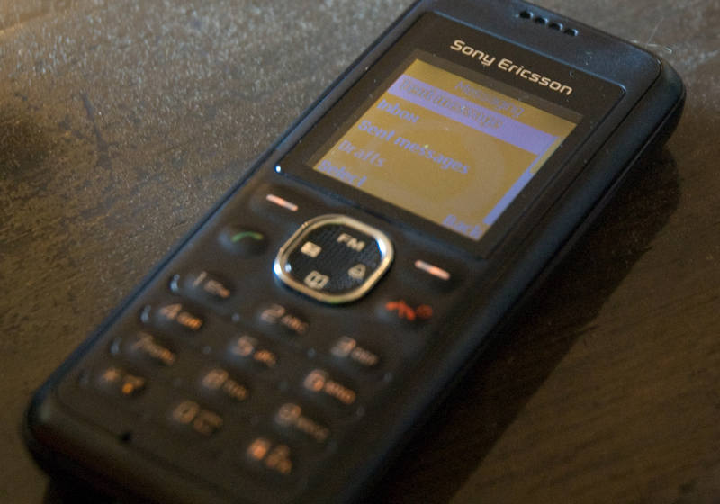
Erica had bought me a cheap temporary phone that worked with my SIM. I had no contacts or diary (I'll restore those when I buy the real replacement phone and do a sync with goosync), but I at least was back in communication. |
|
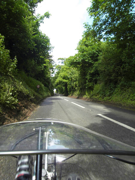
The first part of the ride was flat, flat, flat. :-) |
|
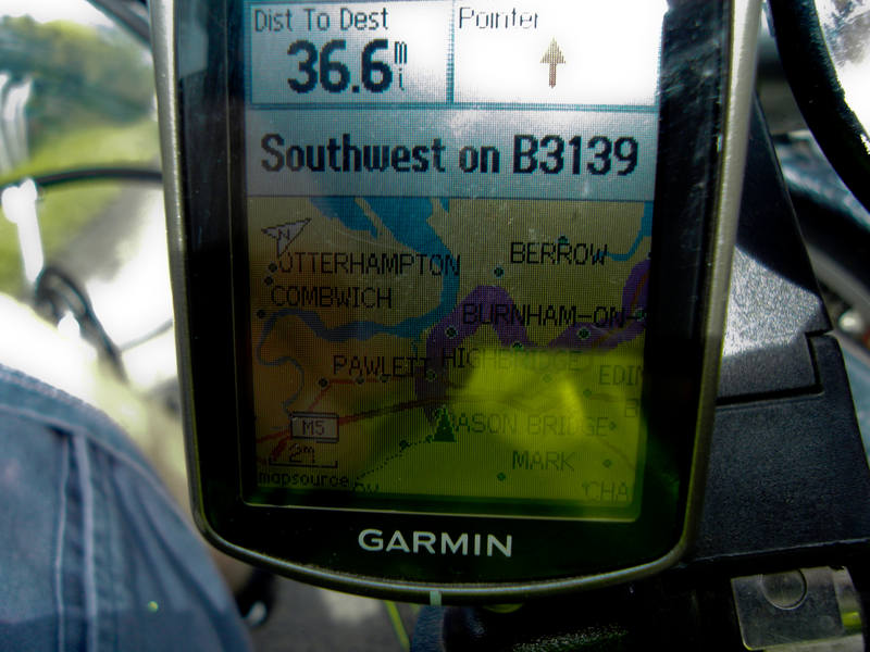
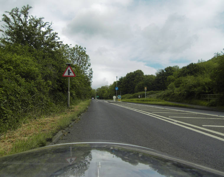
The GPS was, however, getting confused, trying to take us on a massive detour. |
|
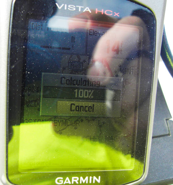
It's very frustrating to plot a route in Mapsource and transfer it to the GPS, only to have the GPS recalculate it and make a complete hash of it. Asking the GPS to take us direct to Bristol didn't work any better. It is set to avoid motorways, and it was if it thought the A38 was a motorway - something it had done before. I took the simple approach and asked a local cyclist to direct us to Bristol, which she did. |
|
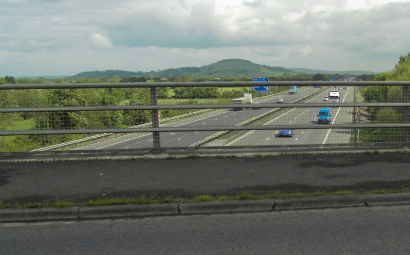
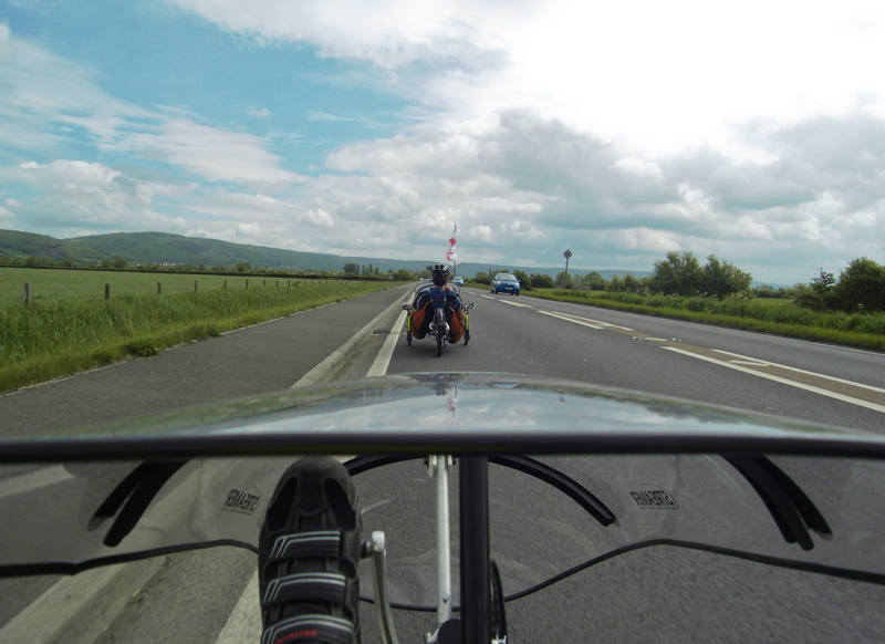
Our route continued criss-crossing the M5. |
|
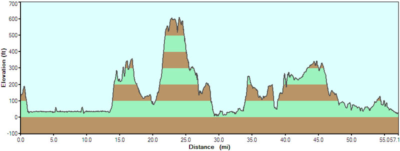
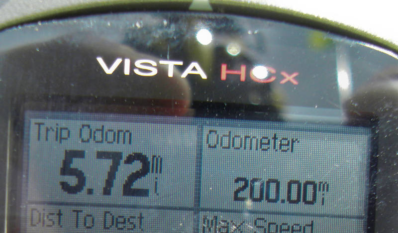
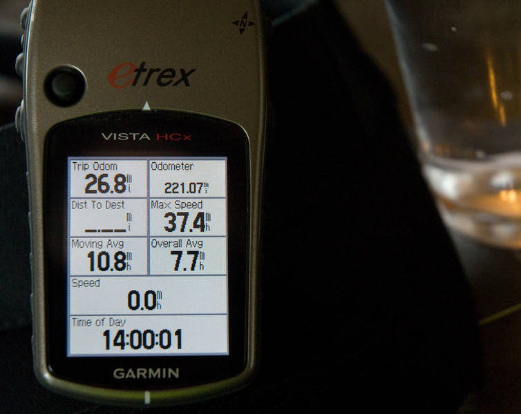
I have my GPS data screen set to display the trip odometer (ie. that day's ride), but also the total odometer (since leaving Lands End). I was keeping a close eye on the latter so I could grab a photo of this moment: |
|
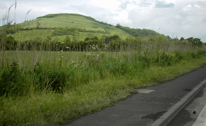
Somerset is a very well designed county. Instead of putting hills underneath roads, they plonk them down in the middle of empty fields between the roads. This is a most satisfactory arrangement which Cornwall and Devon would do well to emulate. |
|
The weather was good, and I was in shorts, but wasn't going to tempt the rain gods by removing my waterproof jacket just yet: I rode with it open. |
|
Occasionally a hill was rude enough to position itself in front of us, but it moved aside as we got closer. |
|
We passed Cheddar Gorge to our right. It would have been nice to ride it, but we didn't want to put our schedule at risk with any deviations. |
Despite the civilised terrain, my legs were suffering a bit, but if you keep turning the pedals, you keep moving ... |
I'm never quite sure what one is supposed to do with this warning. Refrain from discussing any planned steak dinners, perhaps. |
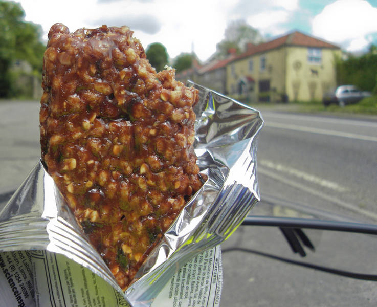
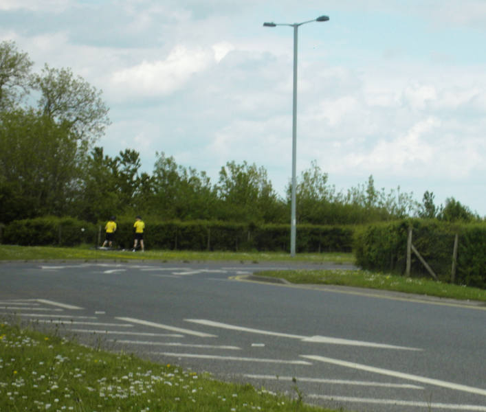
We met up with some other LEJOGgers along the road. Clearly they'd seen our plans on the cycling forum as I was greeted with a "Hello, Ben." :-) We leapfrogged each other a few times, and they gave us a very welcome cheer as we came past the pub at which they were lunching. I generally need a cake stop at around 20 miles, but we were on a very rural road without even proper villages. There was nothing at 20 miles. Nothing at 21 miles. And nothing at 22 miles. By this time, my fuel-gauge was definitely reading empty, so we stopped and I opened one of the energy bars I carry for just this situation. Rice-cake, sugar and lots of fruits. Looks disgusting but tastes fine and does the job. |
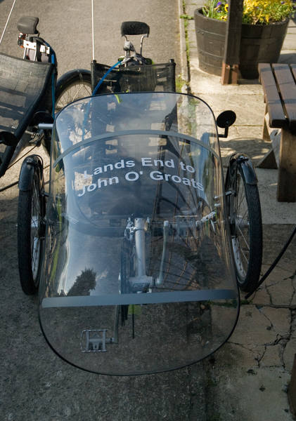
At the top of the hill, I spotted a signmaking company. I'd considered having some vinyl lettering made up for the fairing before we left, but I was a little nervous doing this. The endeavour was very much a step into the unknown for me: I'd never attempted a ride even a tenth as ambitious as this one. I decided against tempting fate. But we were now in day five, we were on track and we'd cracked 200 miles, so I decided that perhaps now the time had come. Signs were duly made and applied. |
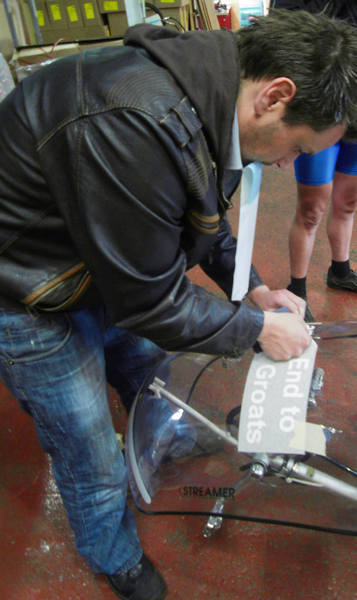
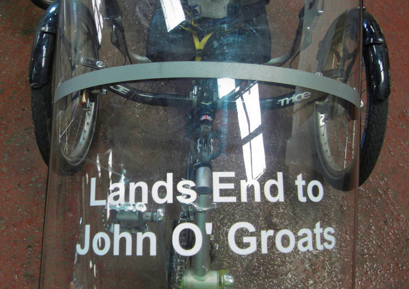
Four quid for two sets. :-) Our leap-frogging friends were taking a quick pit-stop at Bristol airport. |
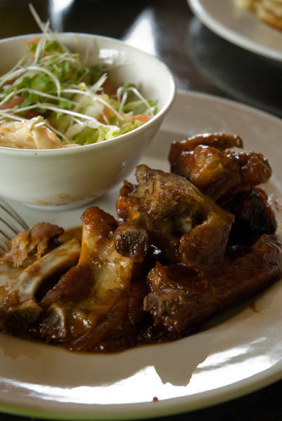
My energy bar had sustained me as far as Bristol, where we spotted a likely-looking pub. |
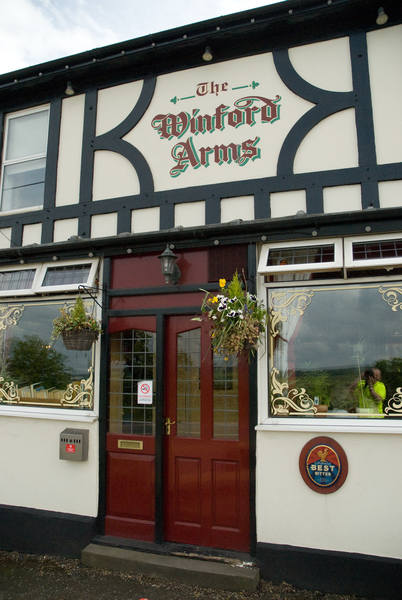
This was just short of 27 miles. |
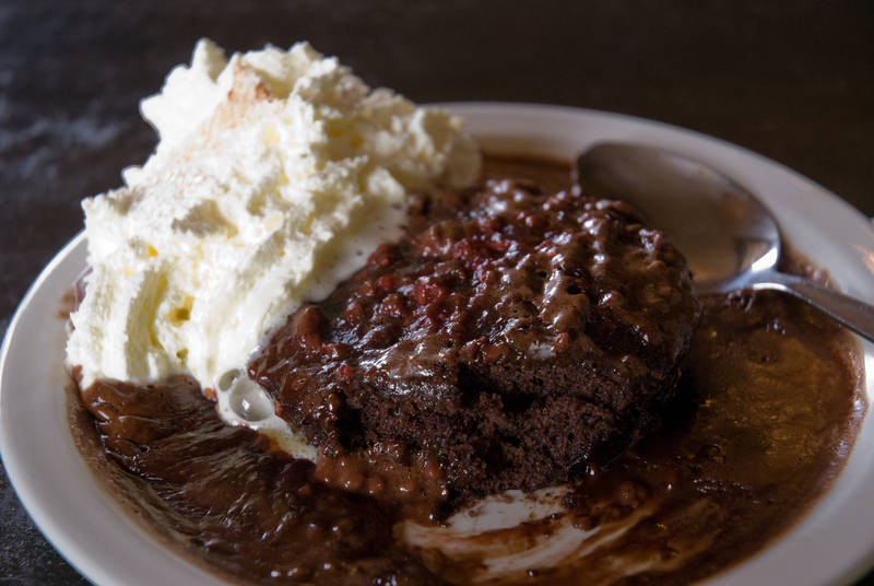
We filled-up our fuel tanks. |
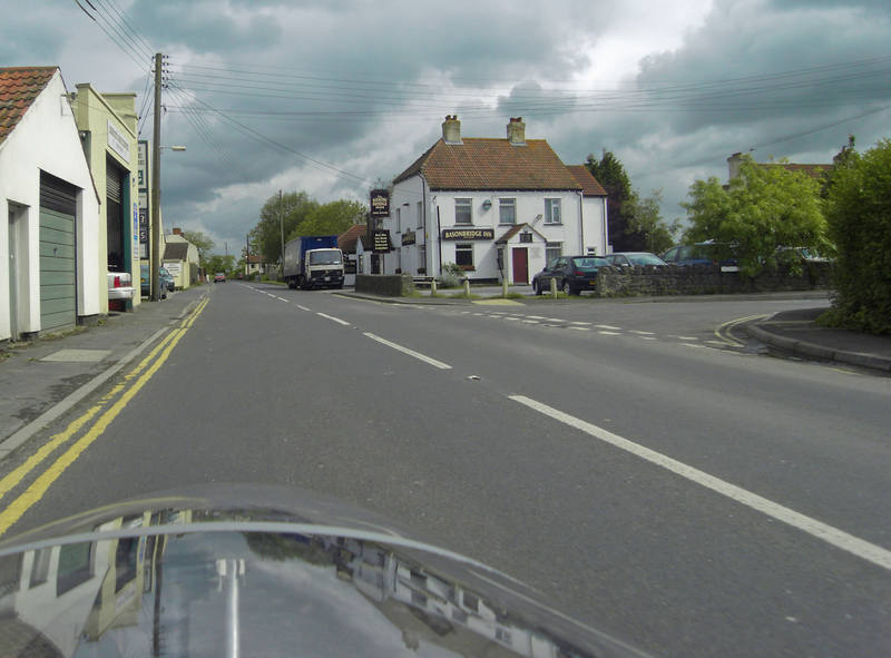
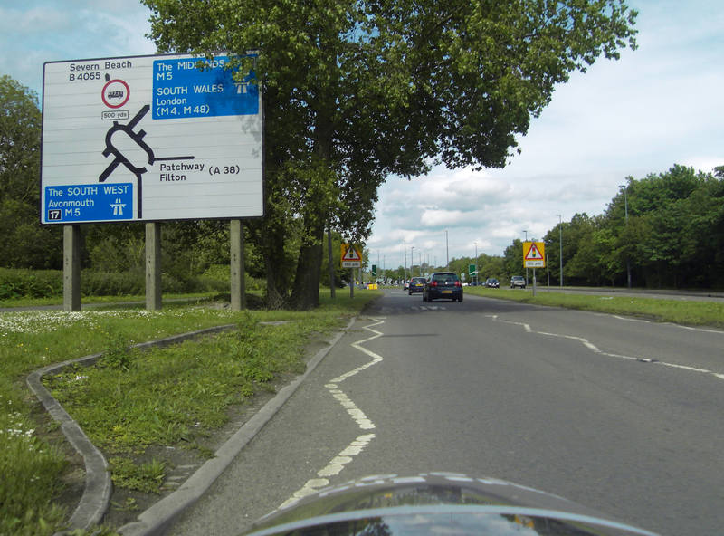
After lunch, we needed to navigate our way through Bristol, and the GPS units were still not acquitting themselves well. This became a familiar sight: |
A38 signs were also in short supply, so I did a Zen navigation exercise. |
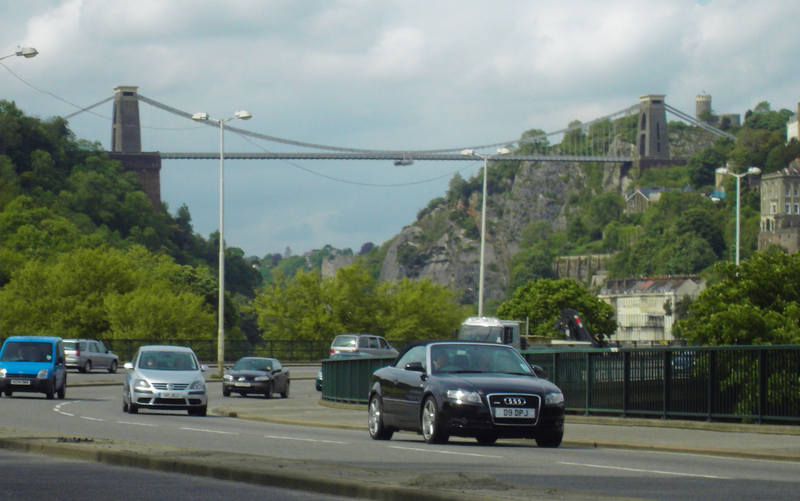
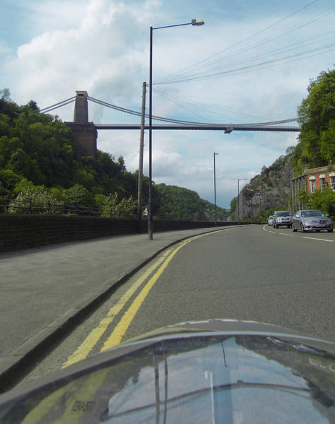
We passed under the Clifton Suspension Bridge: |
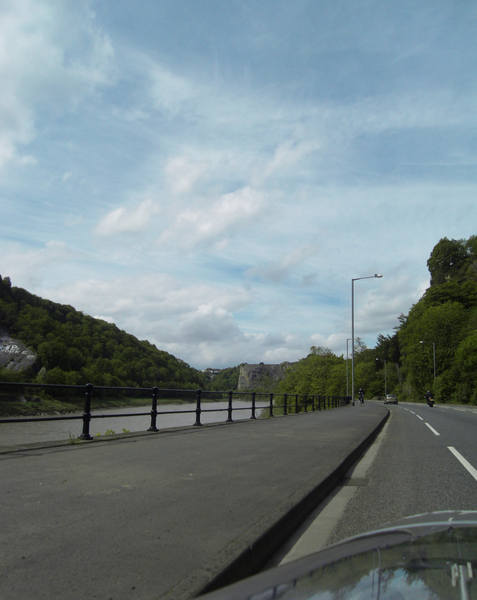
And then along the river: |
We finally managed to get my Zen navigation and GPS to agree with each other. Heading out of Bristol, we crossed the M5 once more. |
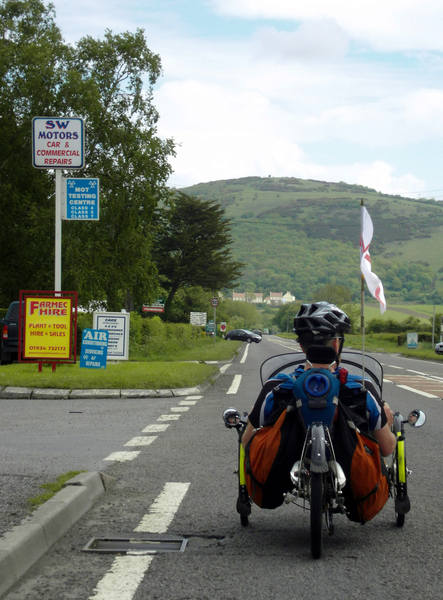
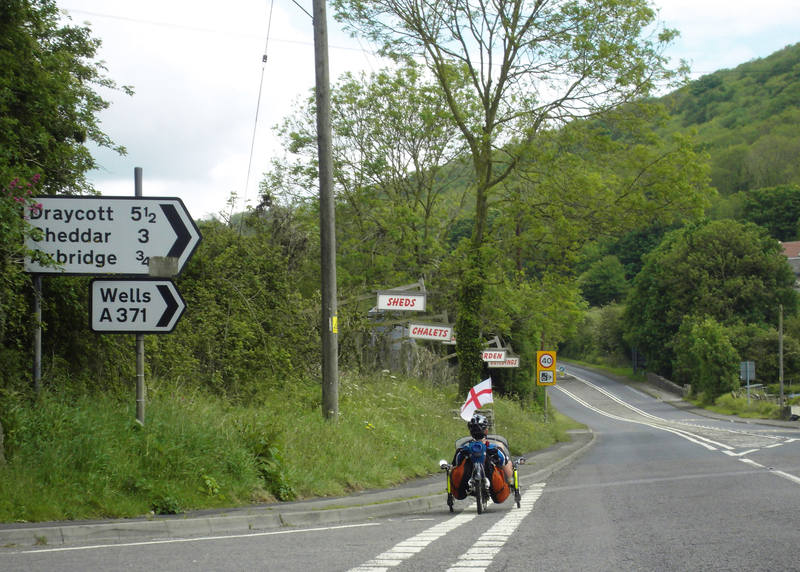
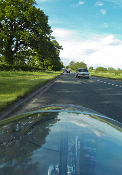
And back onto rural roads. |
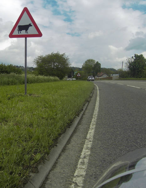
This is not a sign one wants to meet on a trike! |
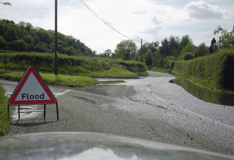
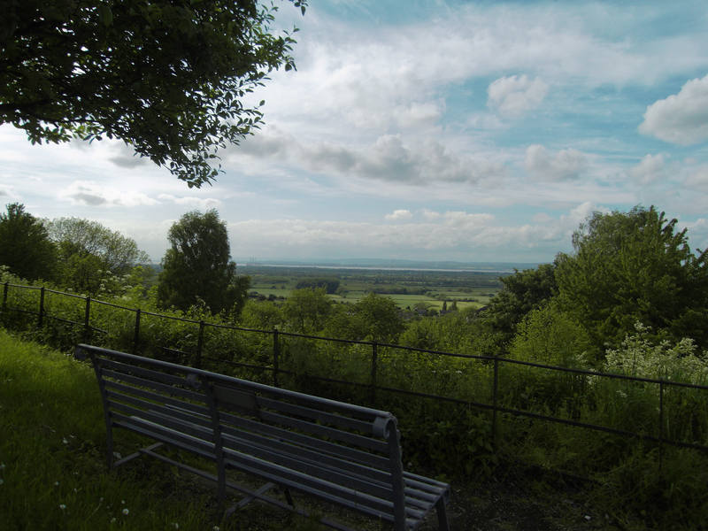
But 'puddles' would have been a more accurate description, and we rode around them. There was a very steep climb out of Bristol, which eventually rewarded us with this view: |
Then we headed back onto the A38. |
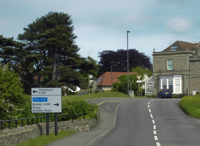
This was relatively busy, but was wide and had a marked cycle lane along most of it. |
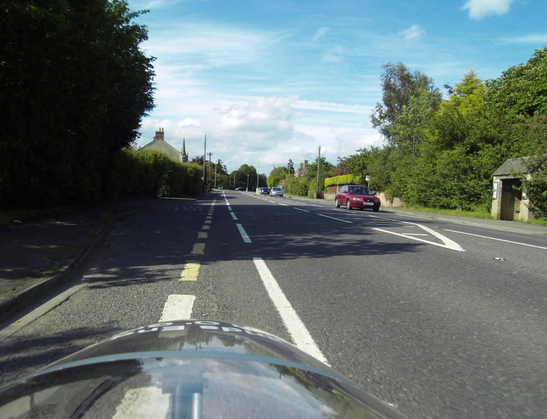
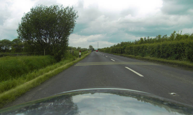
It was still very rural. |
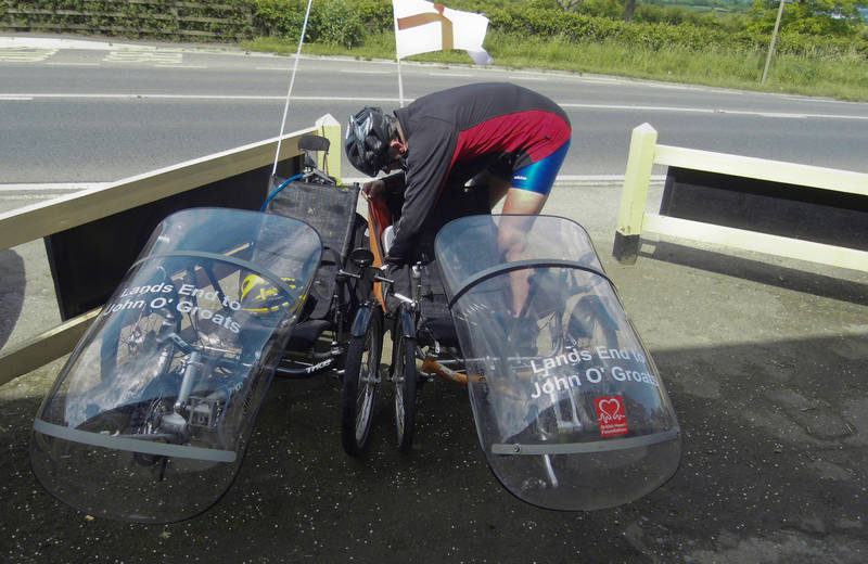
We'd booked into an excellent campsite: with an attached pub. :-) |
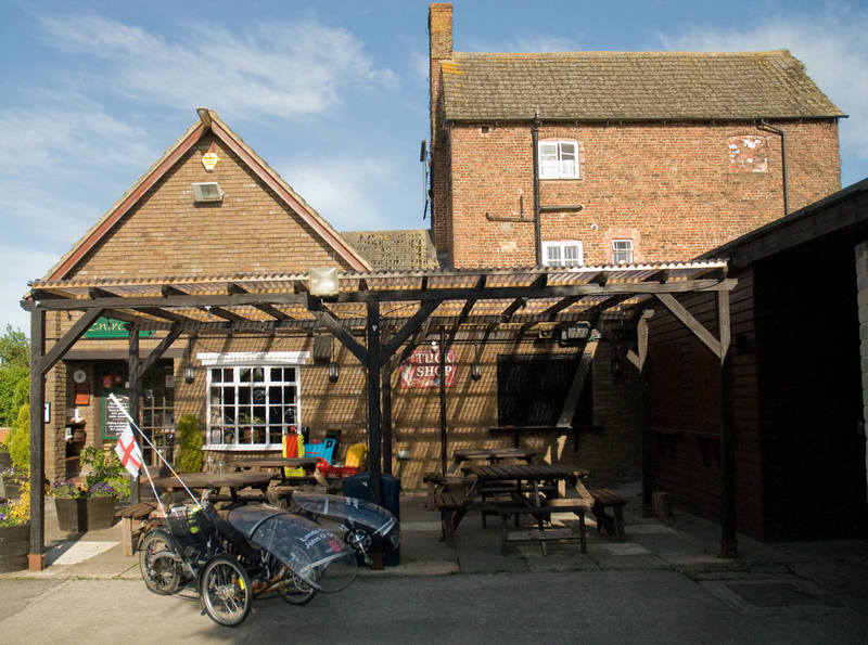
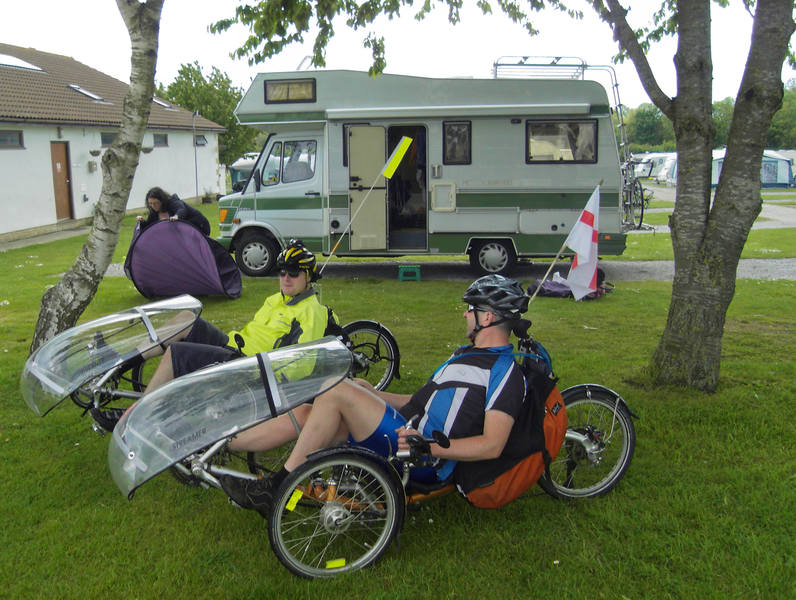
The trikes were locked up and we went inside for a drink while we waited for Erica and Louise to arrive, who were 20 minutes away. |
Louise left and Erica's sister, Helen, arrived. She had a play on the trikes, and was rather taken by them. :-) After five days, then, we were approximately a quarter of the way through, at 251 miles. |
Since the following day was simple, we decided to pick up a cheap road atlas and do it the old-fashioned way. Erica was threatening an early start so she could visit the local Wetlands centre again, in search of Kingfishers, so I hit the hay before midnight. |
![]()