![]()
DAY 15
|
|
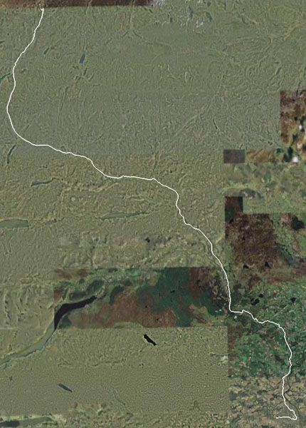
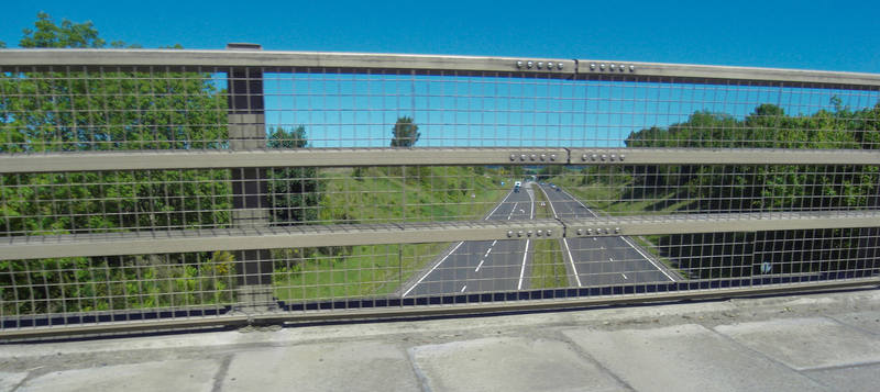
Google Earth view: |
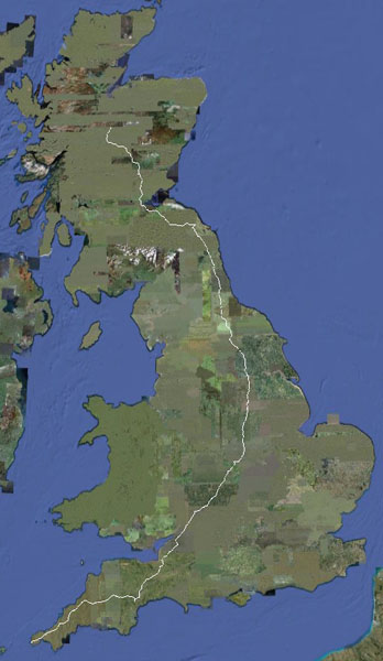
And the ride to date: |
|
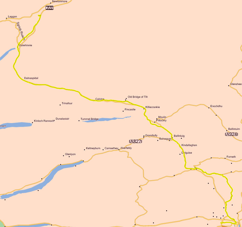
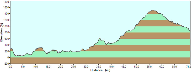
Today was a big day: 71 miles, and up the longest hill to the highest part of the ride. :-) |
|
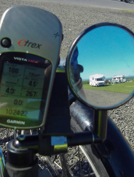
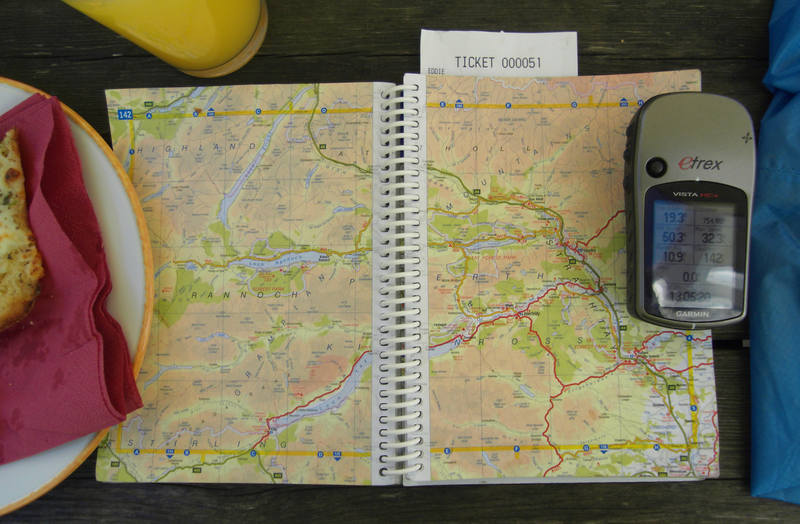
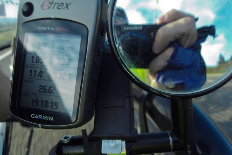
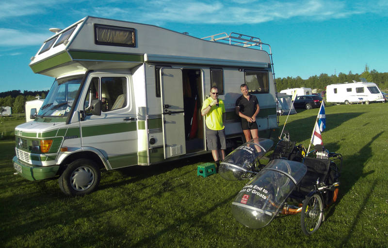
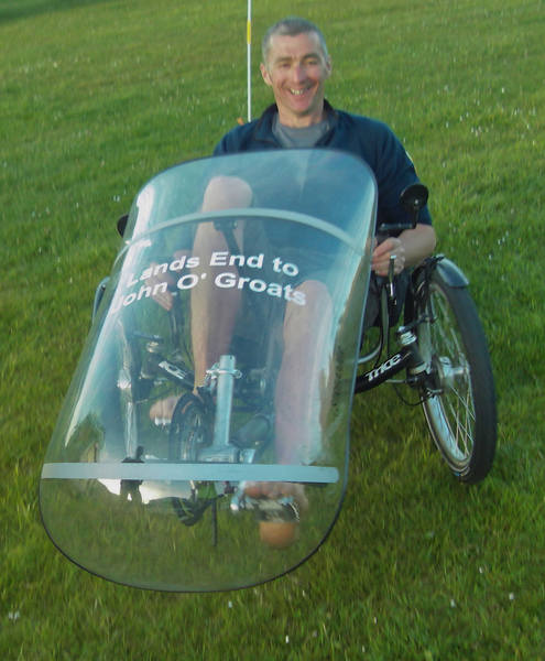
Not, unfortunately, the toughest climb: that will be Berriedale on the penultimate day: over 500 feet in about a mile. I must confess I had been rather sceptical about Donald's idea that we would cycle 70 miles of the kind of contours I'd been looking at on the OS maps! I was especially concerned that there was basically nothing at all in the way of populated places between 40 and 60 miles. I planned the 40-mile location as a reserve overnight stop. We forgot to take the departure photo. I remembered as we were cycling away from the motorhome, but today would be a long one and we'd already done 188 feet, so I settled for a mirror shot. |
|
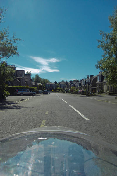
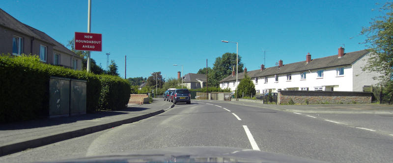
The weather wasn't quite as hot as yesterday, but even at 10am was pretty damned hot. Where was that famous Scottish rain? The GPS went a bit crazy exiting Perth, taking us on something of a city tour. |
|
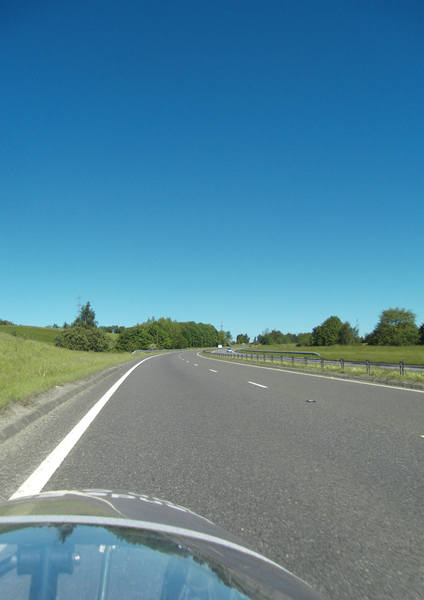
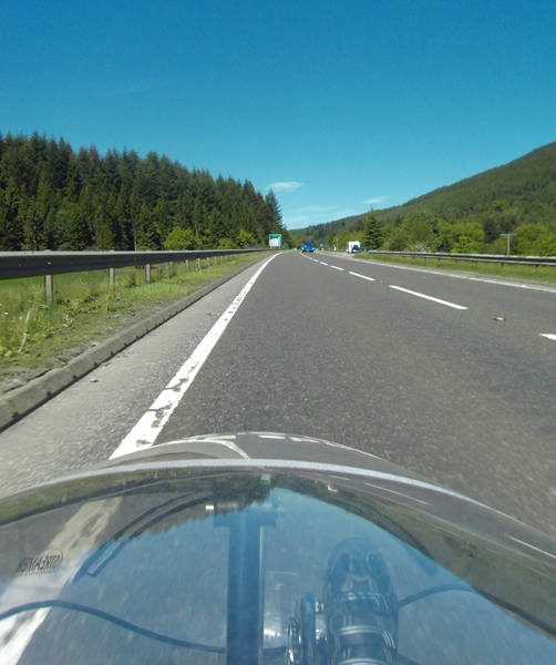
But eventually we found our way onto the A9, for a 1.5 mile stretch. |
|
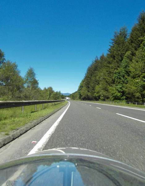
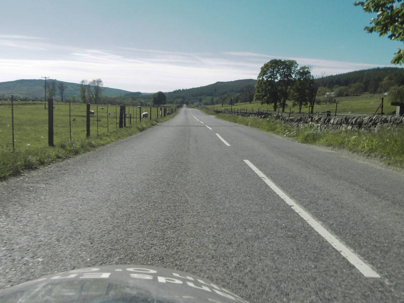
Then we came off onto a back road, crossed the A9 and set off onto more pleasant cycling territory. |
|
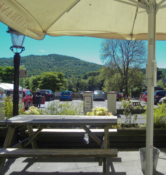
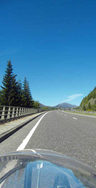
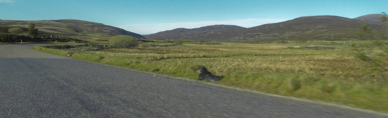
The hills were, however, looming in the background in a threatening manner. |
|
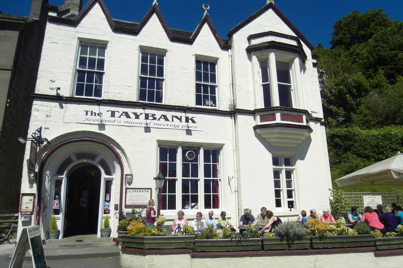
We weren't sure what the food-stop position might be on this route, so I pulled over at a village shop. |
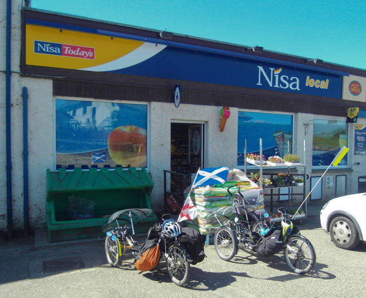
|
Donald had an ice-cream, I had something slightly more healthy, and we both bought water bottles in case we ran out and there was nowhere to refill. |
|
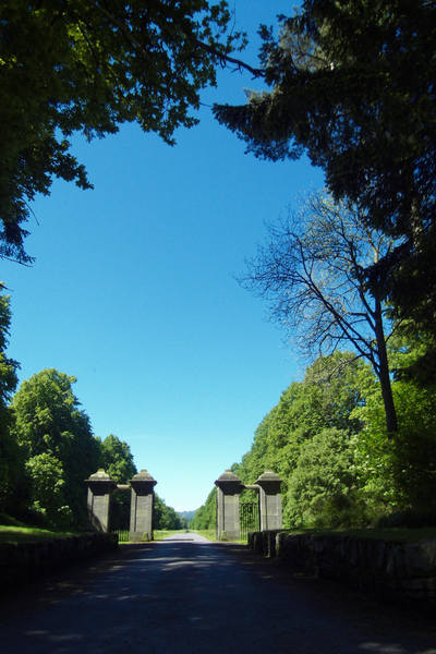
An extremely kind man donated his baseball cap to me. Unfortunately my need for it was such that my brain was too heat-addled to remember to take his photo. A somewhat more impressive driveway than mine: |
|
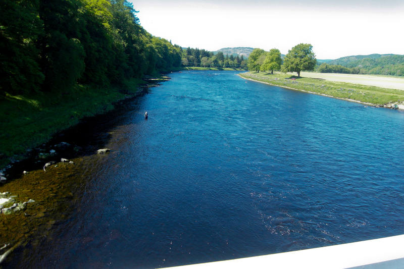
Across the River Tay. |
|
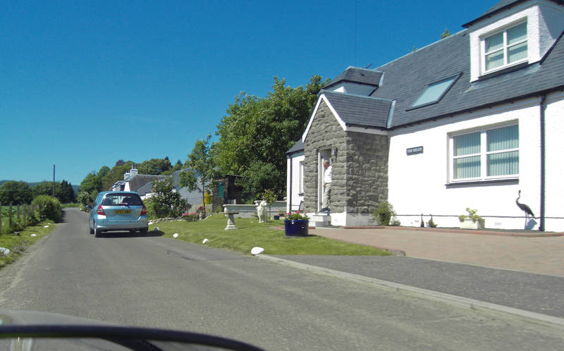
Through a hamlet: |
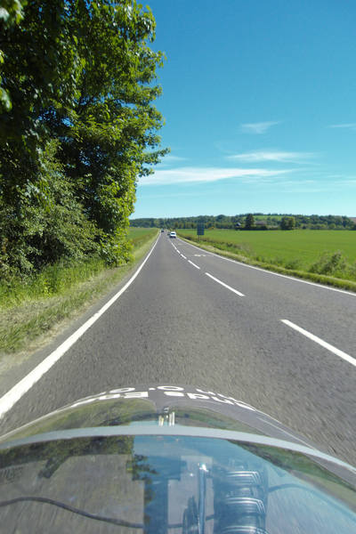
And quite a few miles of very leafy roads: |
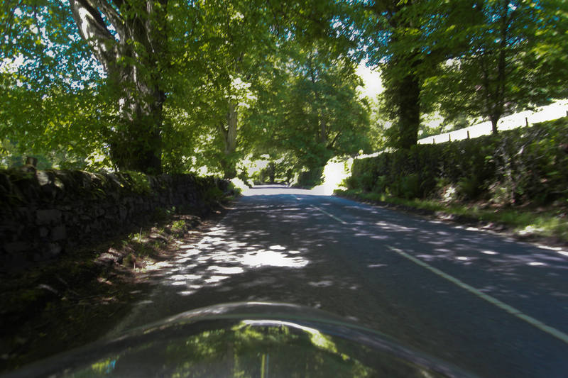
I was very grateful for the shade - which didn't last. |
At 19 miles in, a hotel appeared, so we stopped for lunch. |
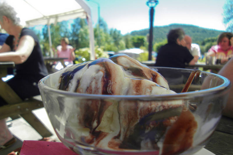
I had so far been rather paranoid about running out of energy during the day, so had been stuffing as much food inside me as I could physically fit. I was now starting to get a bit more relaxed about it, so settled for a starter and ice-cream with chocolate sauce (well, I still had to be a bit careful!). |
I was still looking at contingencies. |
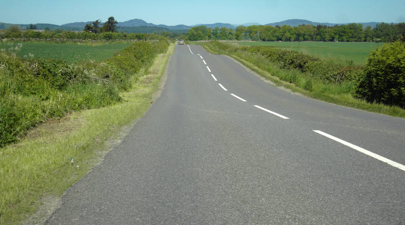
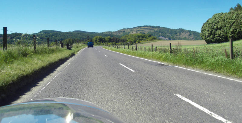
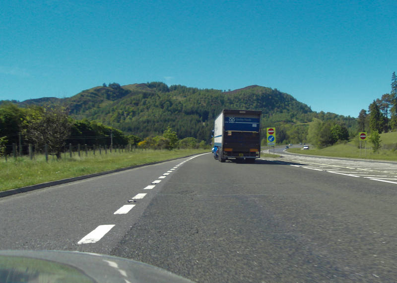
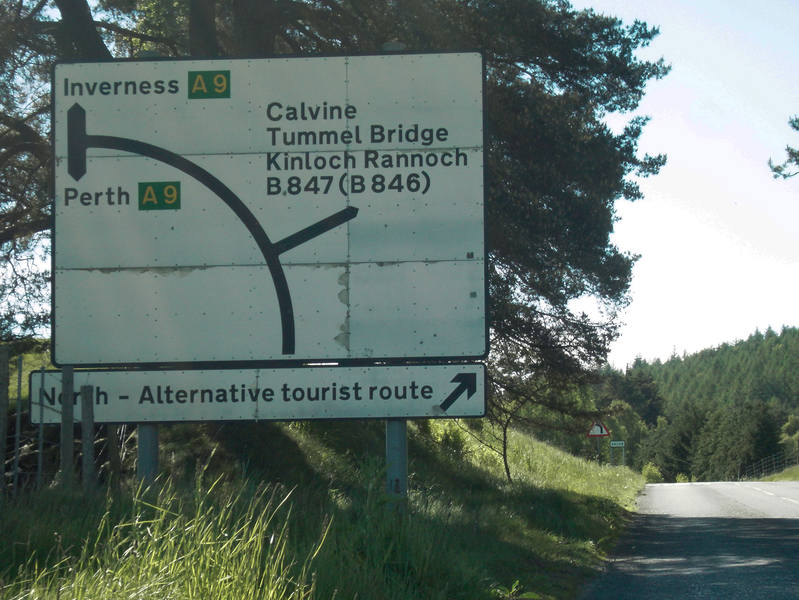
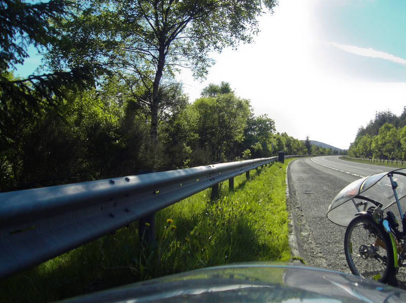
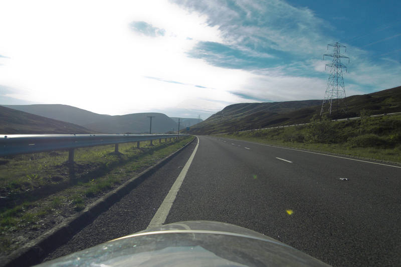
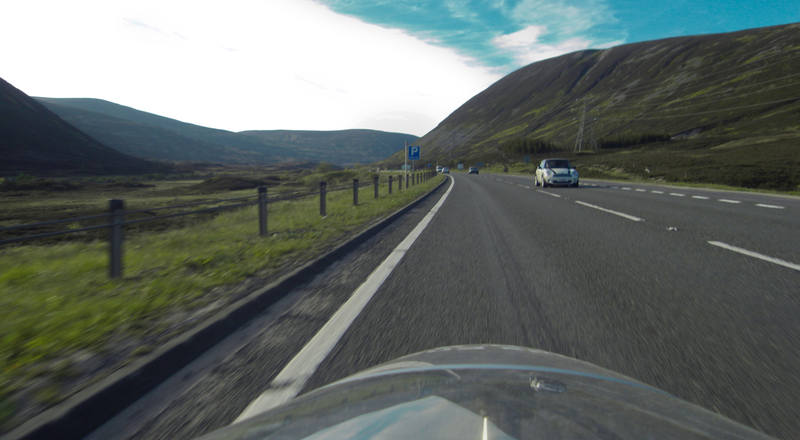
Roads were in short supply round these parts. The next section was the A9 or the A9, so we took the A9. |
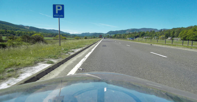
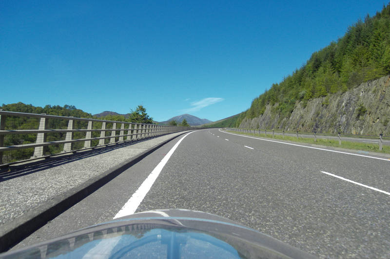
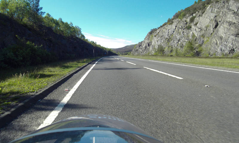
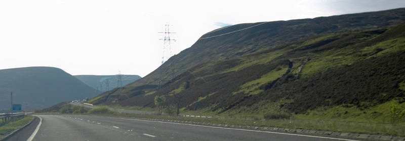
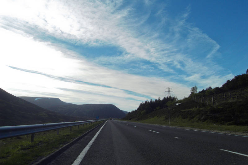
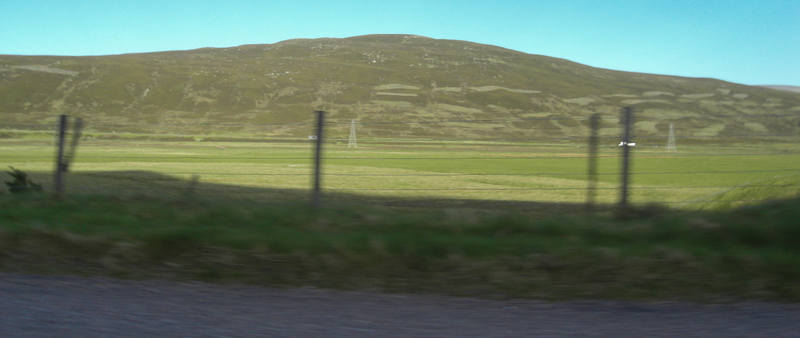
A main road it may be, and busy in parts, but it still takes in spectacular scenery. |
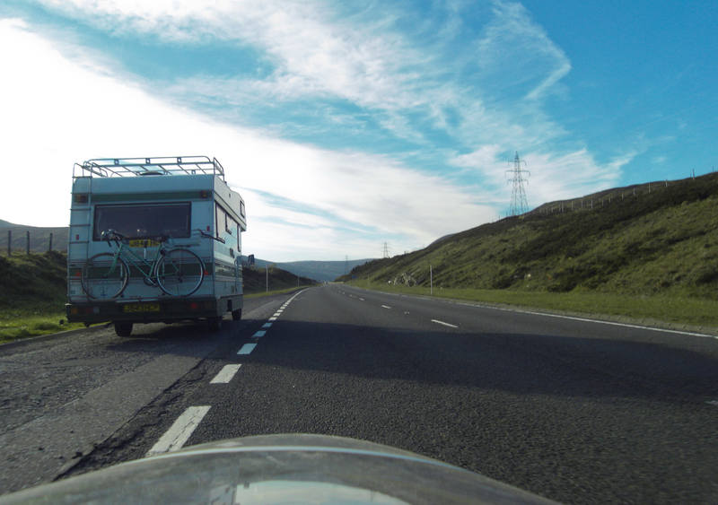
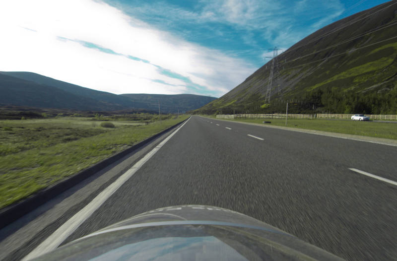
There were some dual-carriageway stretches. These are apparently a sufficiently unfamiliar concept in these parts that no-entry signs are required for the opposite carriageway. |
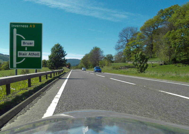
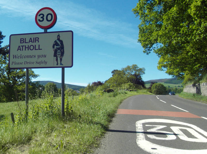
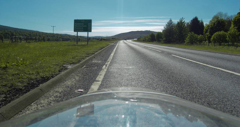
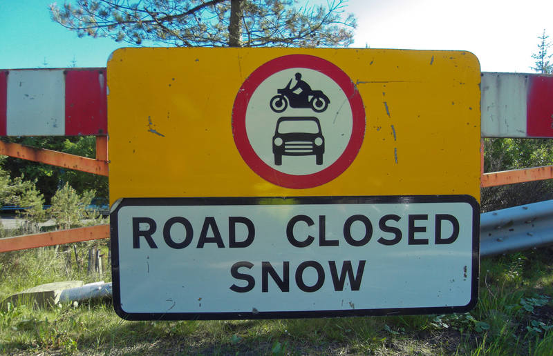
Blair Atholl, at 40 miles, was the last vestige of civilisation for the next 22 miles. After that, it was essentially empty road until we hit Dalwhinnie. If we hit Dalwhinnie. This was our tea-stop. |
Drive safely or you'll have this gentleman to contend with: |
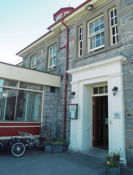
We found a hotel at which to take tea. |
Donald snaffled the two cream biccies, the swine! I asked the barman if there was anywhere else we could stop if we didn't make it up the rest of the 1500-foot climb. "Not really, no." I called Erica to make sure she was in the local area (she was, watching Ospreys) and was ready to provide rescue if required! That done, we prepared to continue on the B-road back to the A9. |
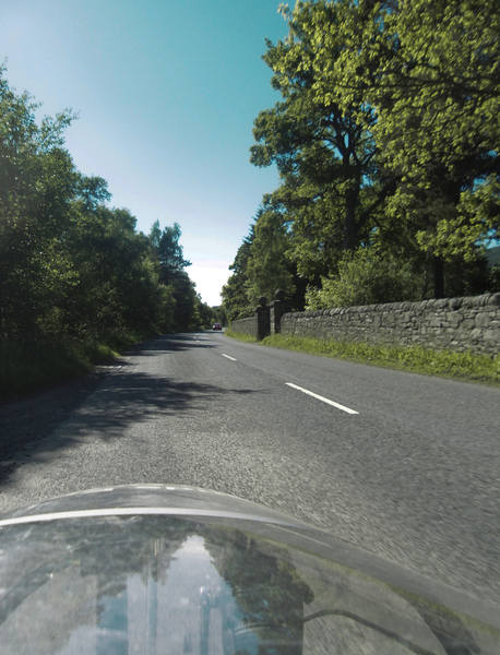
The barman took such an interest in our trikes, and our journey, that he almost forgot to charge us. Almost. He took a photo and said he'd put it in the hotel newsletter. The rest of the B-road was very pleasant. |
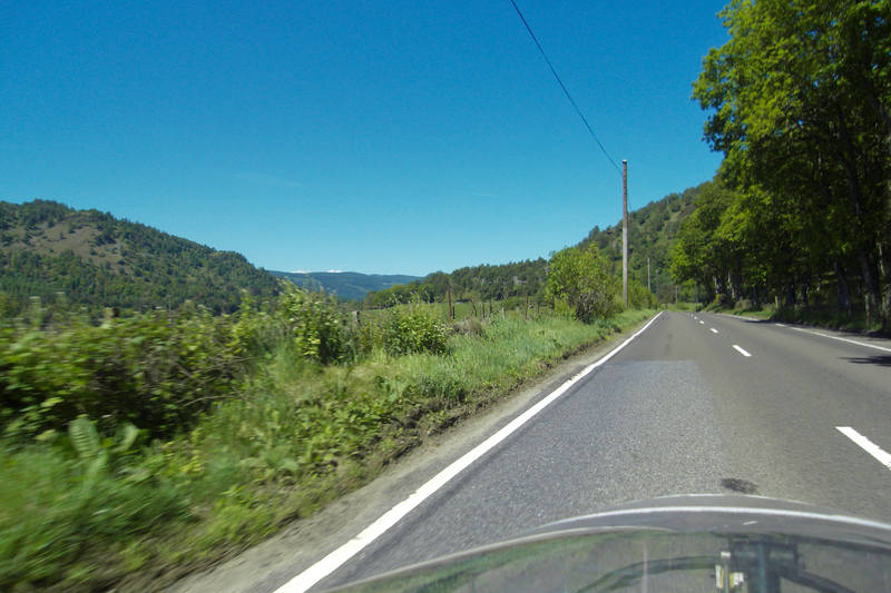
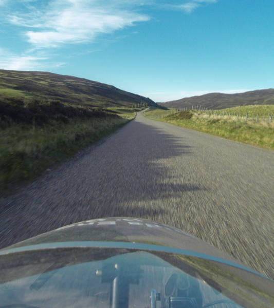
We then had a section where we had the choice of the A9 or an alternative route. The A9 was steadily uphill; we suspected the alternative would be more like yesterday's direct route ... The A9 it was, then. |
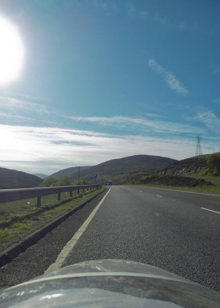
The A9 was a bit of a nightmare to rejoin. We had to turn right, which meant crossing two solid streams of fast-moving traffic. There was a right-turn lane for traffic turning off the A9, so in the end I used that as a refuge to cross one lane before finding a gap into the other. Well, I say a gap ... actually I stuck my hand out into the lane in a no-nonsense manner and waited for the lead car to brake, which it did. We now began the big climb. I was not looking forward to this. |
But in fact, slopewise it was fine. It was a very gradual ascent, and with a tailwind it almost felt flat. The one part of it that was tough was the sun. There was just no shade at all, so the sun was beating down hard. We even had to resort to pathetic bits of shade like this in laybys, just to get some respite: |
(And no, you wouldn't want to climb over the armco to sit under those trees: the few trees there were clearly used on a regular basis for an ancient function.) It was rather ironic. I'd originally told Erica we were likely to need closer support on these last few days as the roads were so exposed, but back then I'd had in mind the possibility of hypothermia in freezing rain and snow. |
Instead, the risk was heat exhaustion! As mobile phone coverage couldn't be relied on, I'd asked Erica to pull in at the next layby when she overtook us, This turned out to be almost exactly halfway between our tea-stop and Dalwhinnie. |
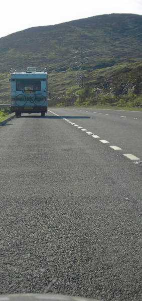
The shade of the van was very, very welcome, and the malt-loaf and tea went down well too! Fortunately there wasn't too much climbing to do after that. |
Erica stopped a bit further on to take a photo. |
By this time, we were beginning the descent into Dalwhinnie. |
Thank you - we like the downhill bits in particular. We were soon freewheeling down at 25-ish. |
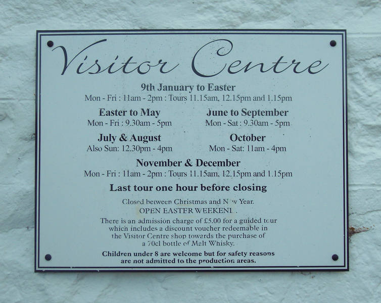
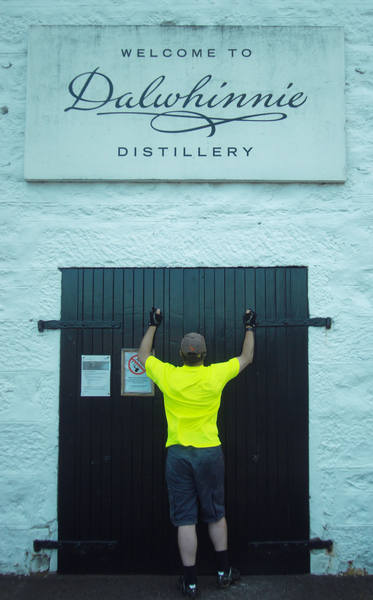
We met up at the distillery. |
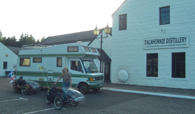
But sadly after it was closed for the day. |
Cruel, cruel world! |
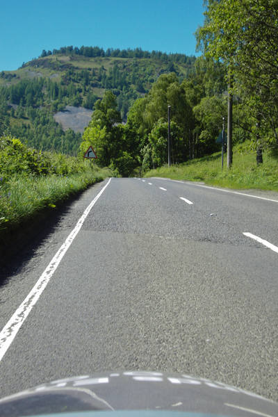
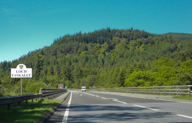
We then took the rather splendidly-named General Wade's Military Road for a few miles back to the A9: |
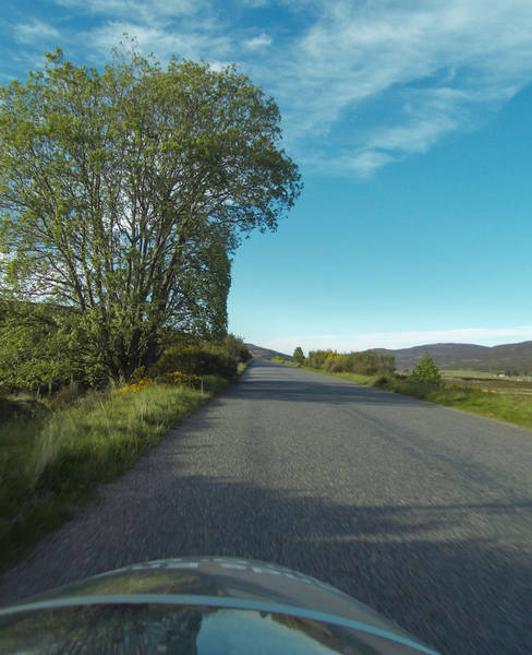
Slightly downhill, a decent tailwind, cooling temperatures, spectacular scenery and the campsite just a few easy miles ahead; cycling doesn't get much better than this. A view across to the A9: |
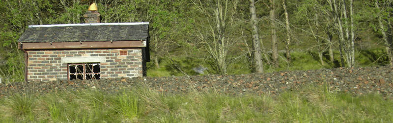
A small des-res: |
And arrival at a fantastic campsite with a welcoming cup of tea! |
A couple of our neighbours, John and Carol, came over and offered a donation of a fiver to the BHF - or a tenner if he could have a go on a trike. I showed him the access procedure (not obvious with a fairing!) and he took it for a spin round the campsite, returning with a grin. Carol banned him from getting one when she heard the price. |
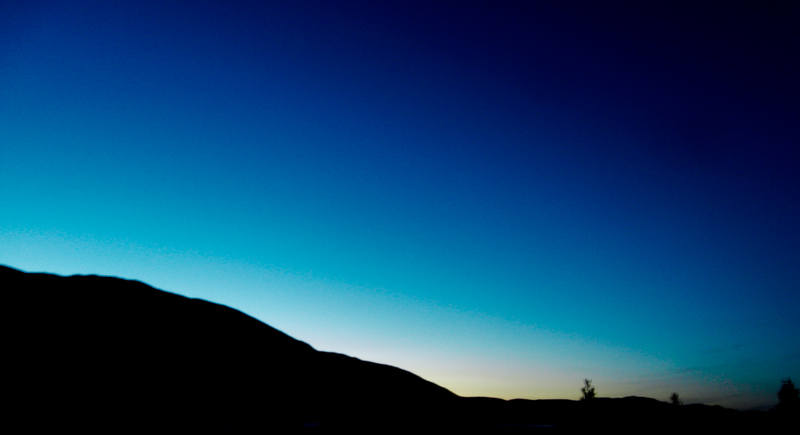
This far north, sunset was 10pm, and even an hour later it wasn't fully dark: |
And so ended day 15. Another neighbour had just driven from John O'Groats, and had logged the mileage at 173. Tomorrow's plan was a few miles north of Inverness, and then two more days should see us running out of UK ... |
|
![]()