![]()
DAY 17
|
|
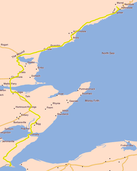
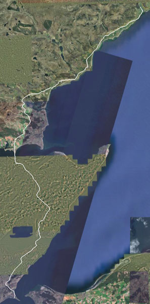
Google Earth view: |
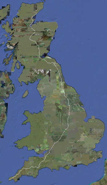
And the ride to date: |
|
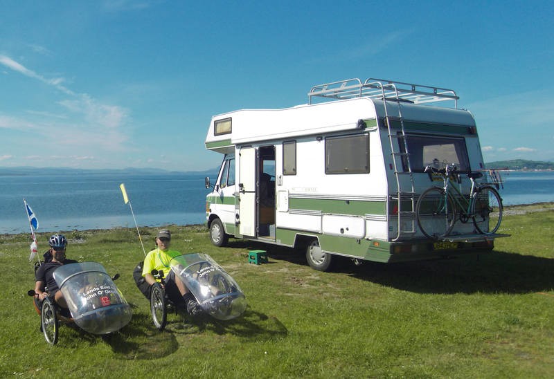
The campsite looked as good in daylight as it did at night. |
|
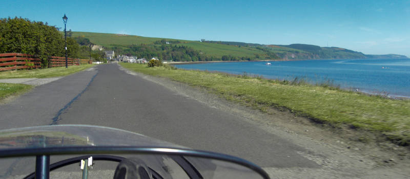
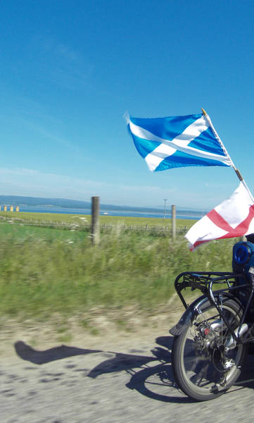
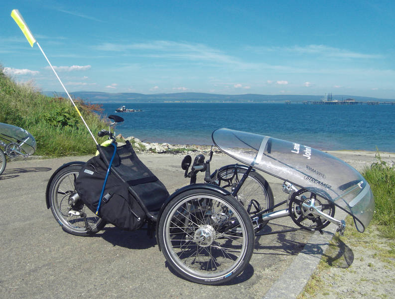
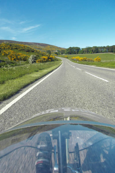
We started off cycling along the sea-front. |
|
Then we started uphill ... |
|
Our start-point was at sea-level, our next destination was at sea-level, but in between ... |
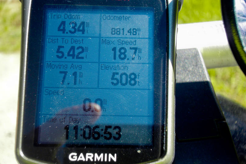
This was at least the biggest climb of the day: |
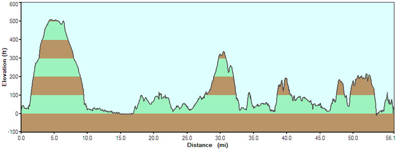
And it got flat at the top. |
|
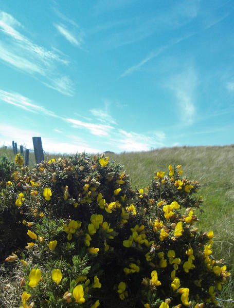
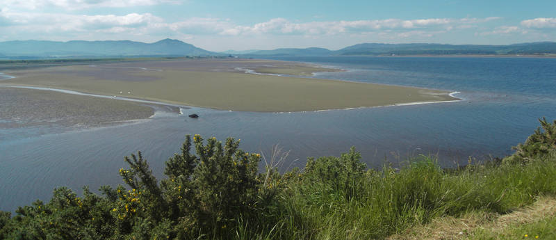
The Black Isle is definitely scenic. |
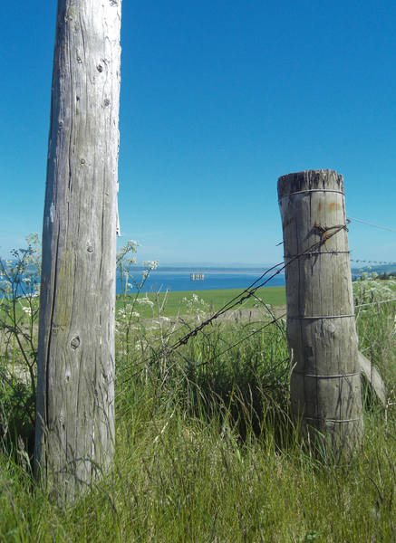
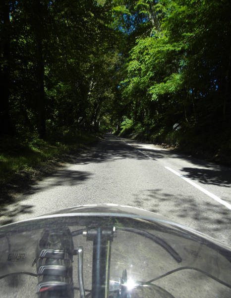
Then a lovely downhill run. |
And then we were at the bottom of the hill. Hmmm. |
|
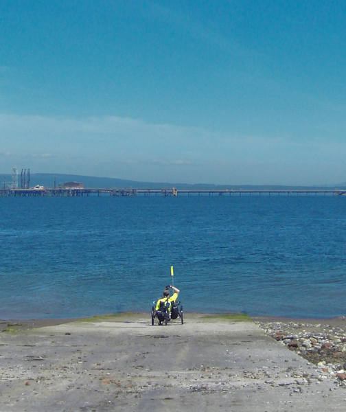
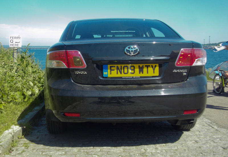
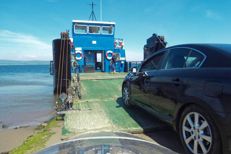
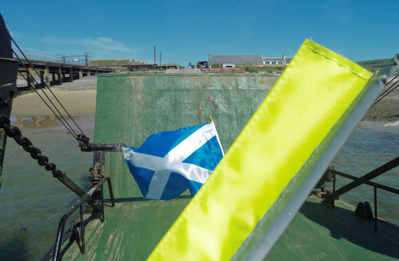
Ah, yes, the ferry - that's right. Unfortunately, we'd hit it at rush-hour: |
|
We'd just missed one, but there were worse places to hang around for half an hour. |
|
The two-car ferry was a very neat design. A double-section ramp unfolded: |

|
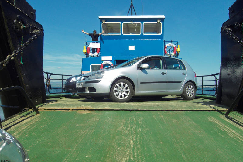
The cars drove on, parking side-by-side: |
|
Then an electric turntable turned them round to face off the ferry: |
|
And finally, they fit in any other odd vehicles wanting to cross: |
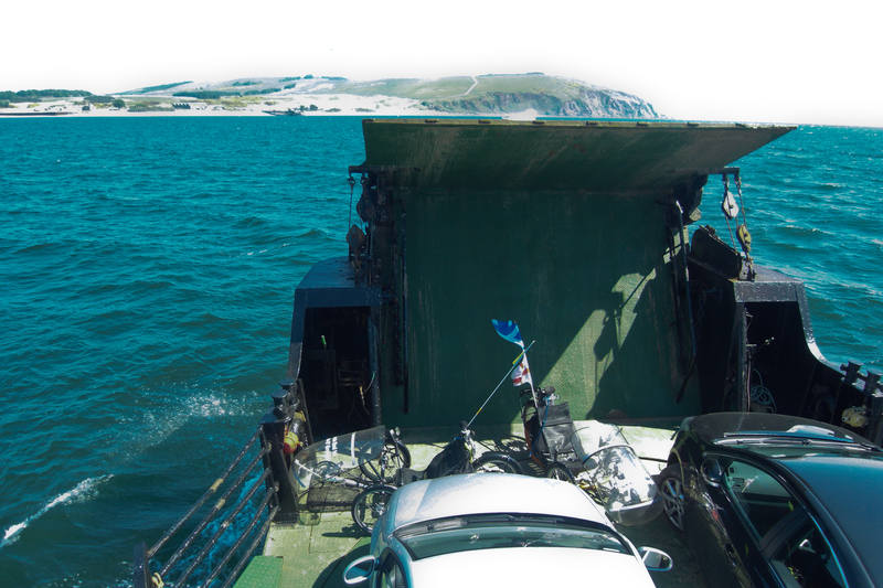
I got chatting to the crew, and they said that when the service first started, the rotating turntable was hand-operated! Fifteen minutes later, we were in Nigg. |
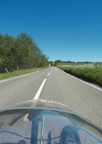
The desperate search for non-road photos continues ... |
Damn, that was all my ideas. |
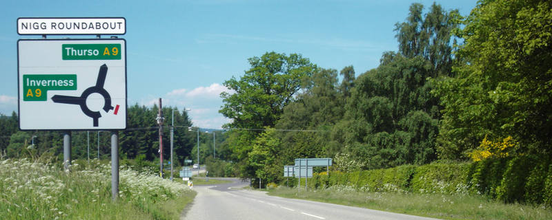
Five miles later, we rejoined the A9. |
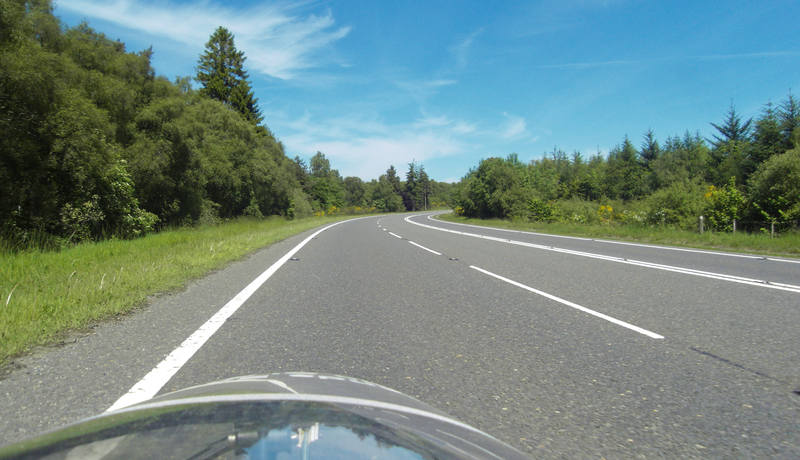
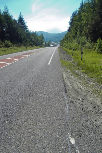
Ok, ok, I'll stop taking these ... |
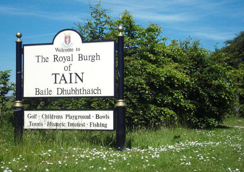
The ferry didn't carry motorhomes, so Erica had to drive round and over the bridge. She texted to suggest meeting in Tain. |
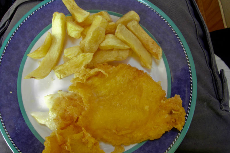
We were at 20 miles by this point, and a cursory examination didn't reveal many culinary options, so we ate fish-and-chips in the motorhome. |
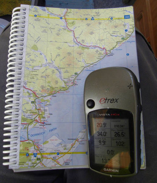
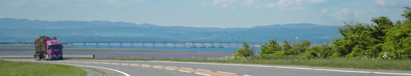
We had 34 miles to go, all of it up the coastline. |
Including the Dornoch Firth Bridge. |
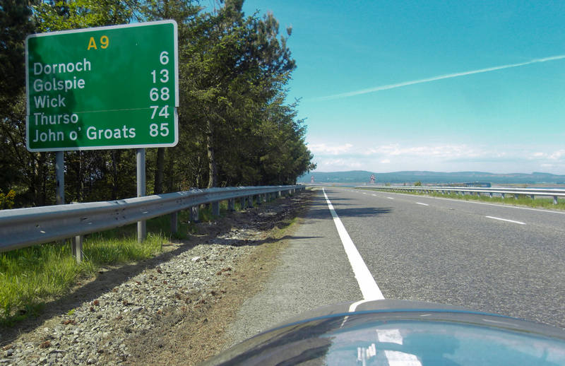
On the approach to this, we were cheered to see our first sign to John O'Groats! Very close now! |
The bridge was 800 metres long. |
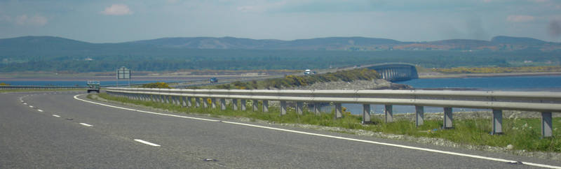
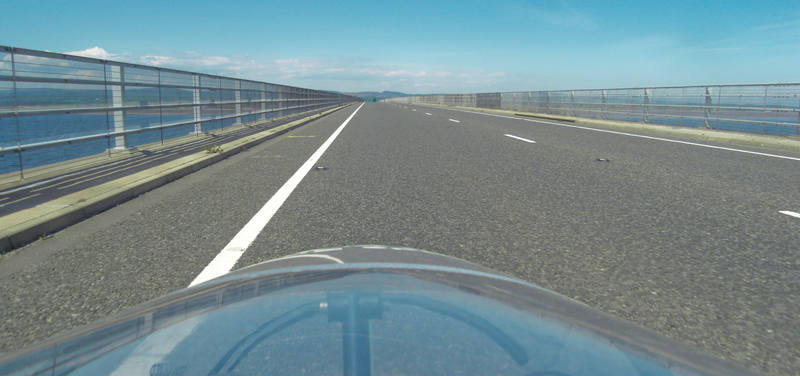
With rather impressive views. |
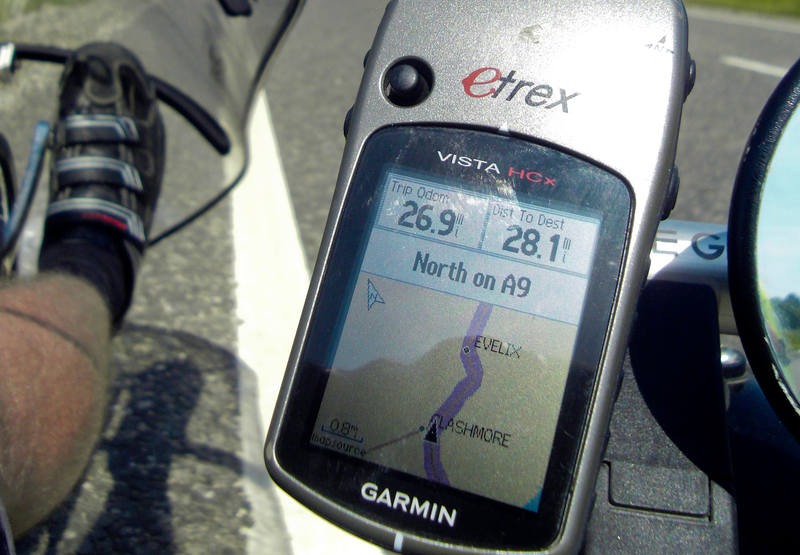
The GPS's navigational abilities were not being taxed too onerously. |
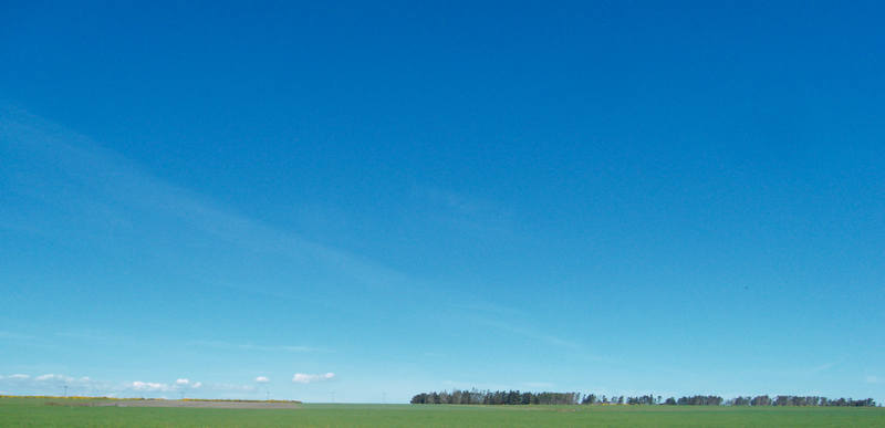
Hmmm ... other non-road photos? |
Sorry, best I can do, I'm afraid. We passed a few other LEJOGers along the way, including this team which I think was a Royal Marines one: |
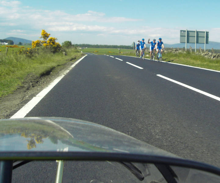
We did, in any case, get cheered on by a Royal Marines minibus. We felt officially tough, as the sticker read Royal Marines End-to-End Challenge: anything the Royal Marines consider a challenge must be a real feat. There were some climbs, but nothing too bad (looking back). |
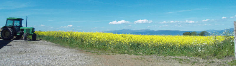
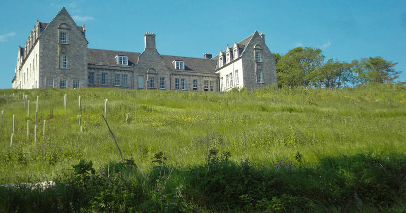
Hmmm, wonder what this des-res goes for? |
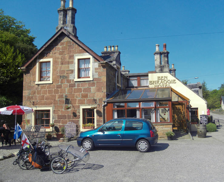
We had a cake-stop at about 38 miles (well, tea and shortbread biscuits). |
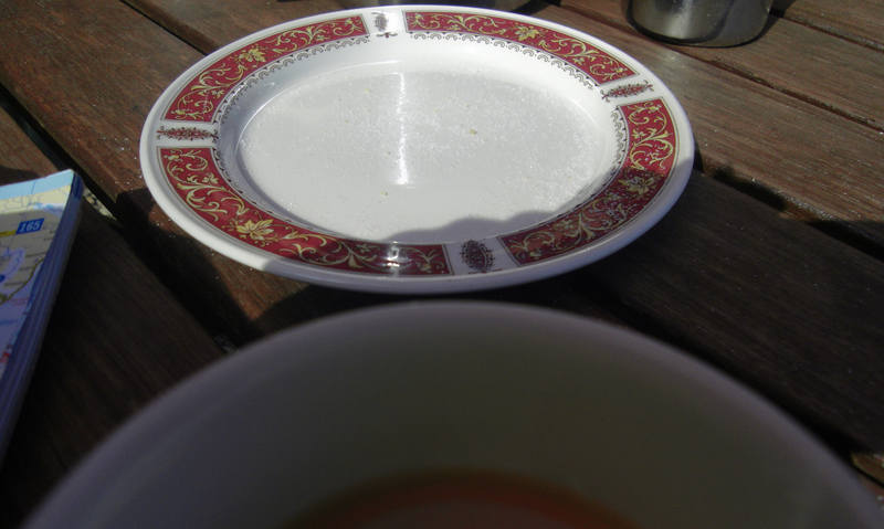
I tried to take a photo of the biscuits, but wasn't quick enough. |
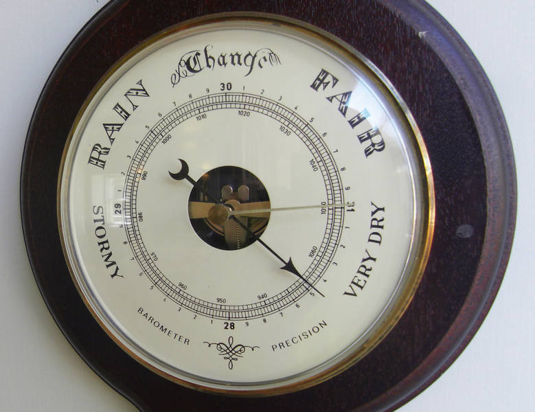
We were able to check the weather too. |
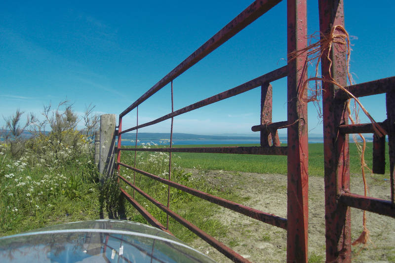
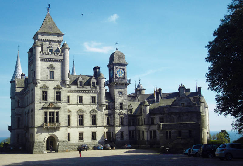
There was a sign to a castle en-route, and it seemed rude not to take a quick look, as it was only a mile off-route. |
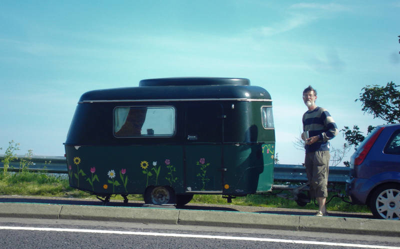
Love the cute caravan at a layby: |
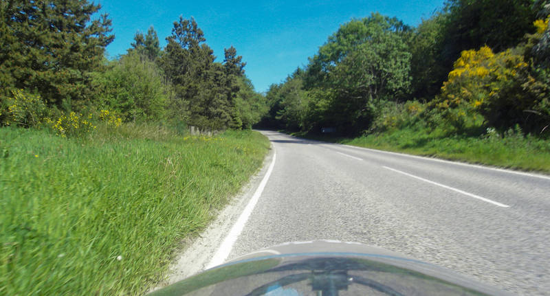
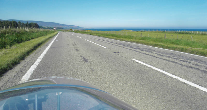
Sorry, more road pics ... |
This was one place where we couldn't find a campsite, so it was our first night of wild-camping. Although legal in Scotland, it's not that easy in a motorhome as most laybys have 'No overnight stops' signs and there are few other places you can get off the road. Erica's texted directions were rubbish, but you can't fault her site-finding skills! |
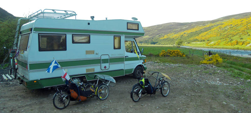
And the generator I bought in case of such eventualities finally got pressed into service. |
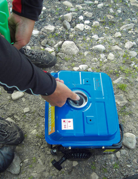
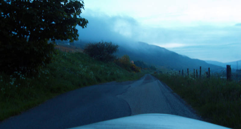
The smell of the two-stroke mixer oil brought back memories of the Honda 50 I owned when I was 16. The generator was a cheap one, and not particularly quiet, but positioned at the other end of Erica's long power lead, we could scarcely hear it. A farmer turned up at 10pm, and Erica checked we were ok camping there. He was very friendly, and said it was fine. We even had a public loo half a mile away. The clouds were rolling in at night, however ... |
But we were now within 53 miles of John O'Groats, so confidently expected to get there the following day whatever the weather might bring! |
![]()